The Story Begins

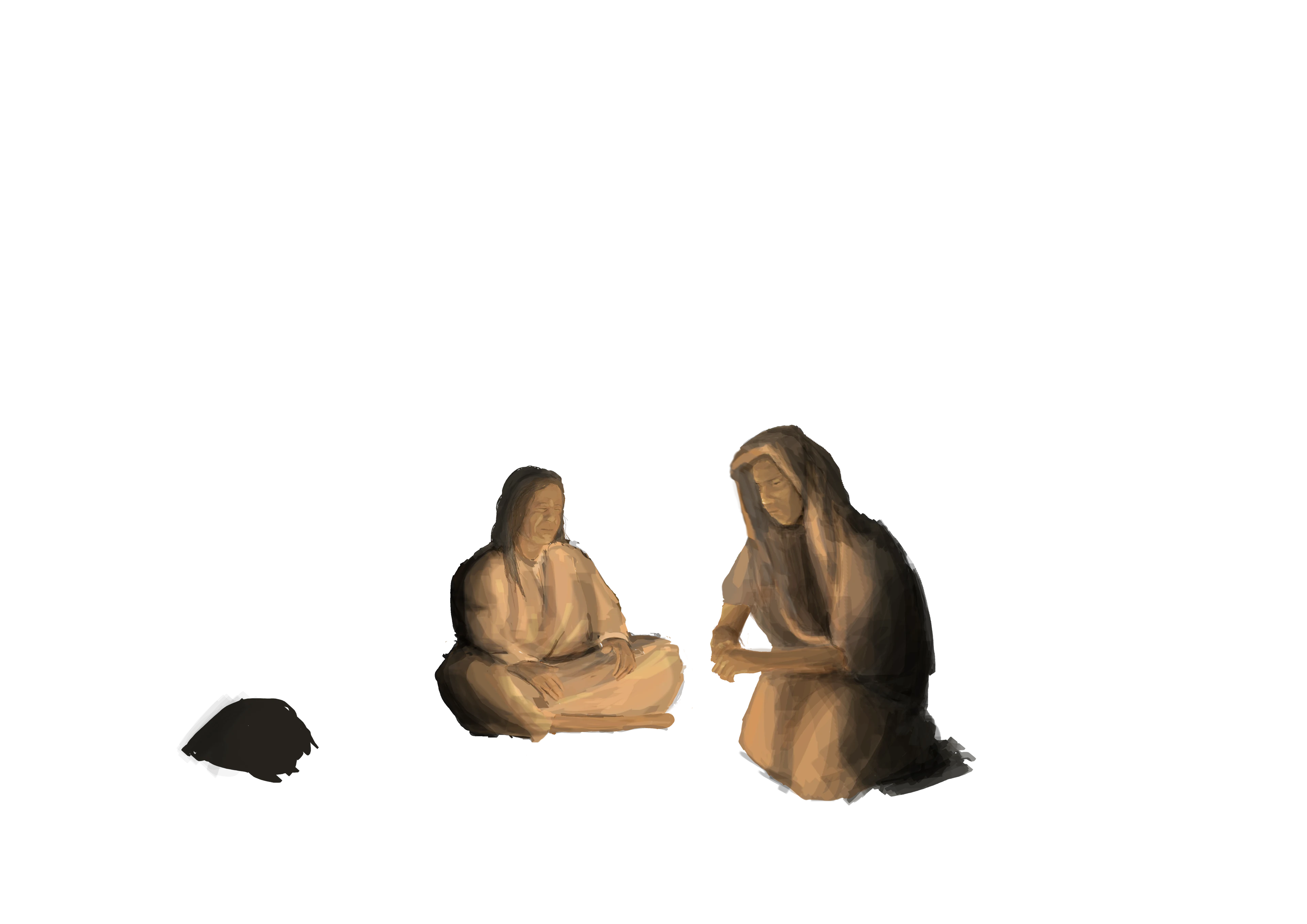
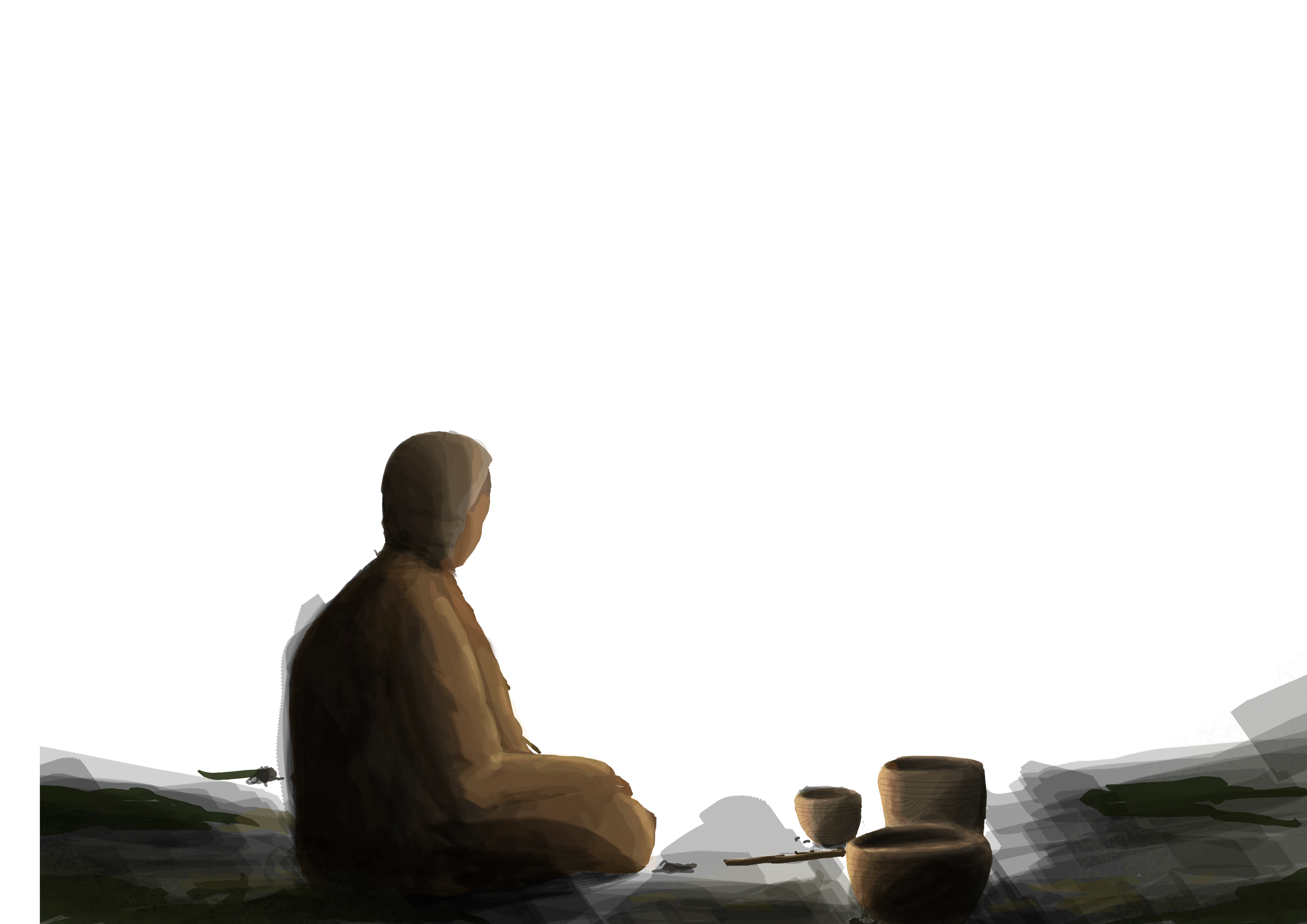
Throughout human history, people formed and preserved sacred bonds with the natural environment, from carving into rock faces to constructing monumental stone circles.

All this ancient human activity forms what archaeologists call the prehistoric landscape, and the evidence we see today are just fragments of a once rich cultural tapestry.

Nowhere is this more apparent than in Cornwall, England, where the relationships between ancient people and their environment are written into the land itself.

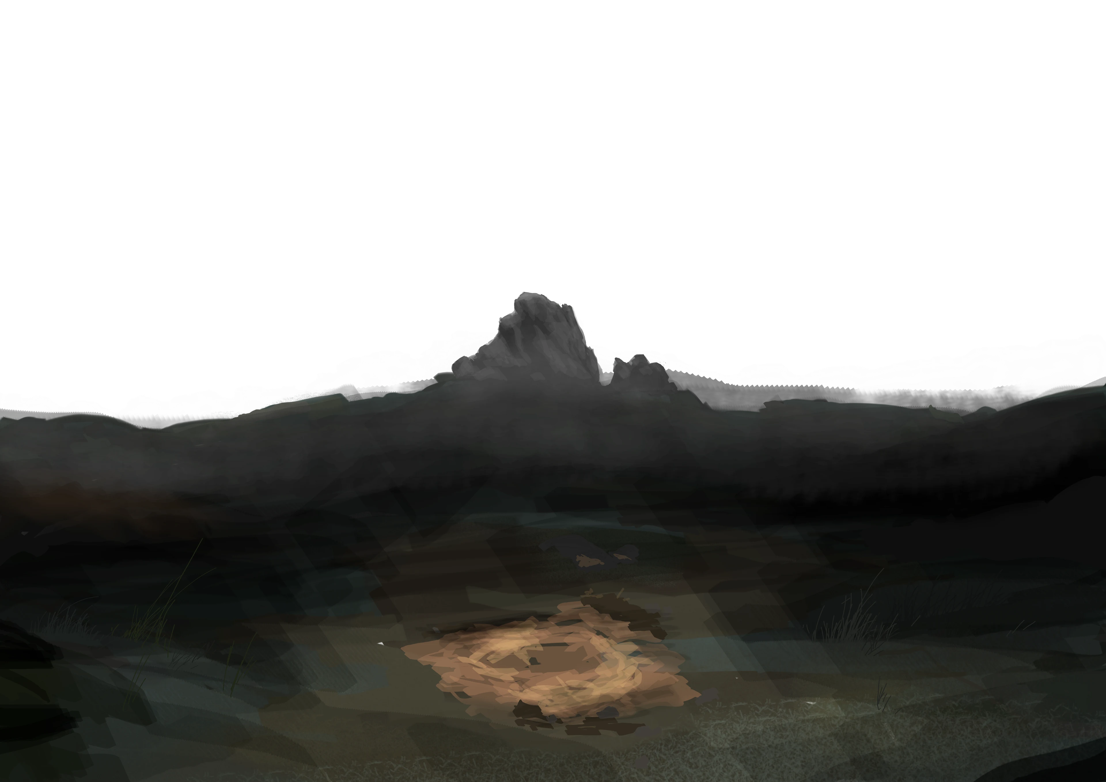
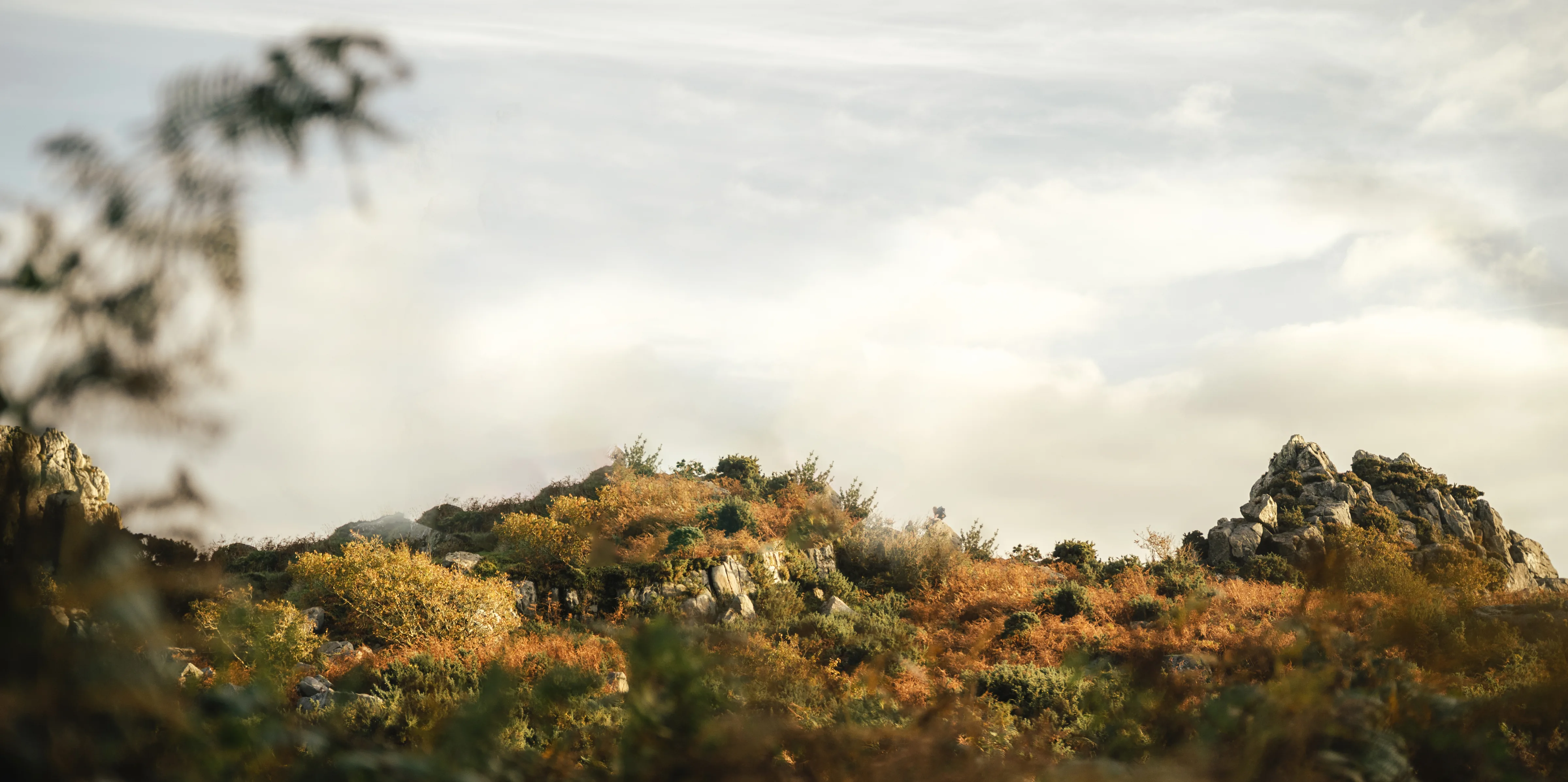
Roche Rock, rising high in the Cornish landscape, has no evidence of prehistoric human activity. On paper, it has no connection to the past. But when you dig deeper, you begin to uncover how this site shaped Cornwall’s prehistoric landscape.

This is what makes Roche Rock so special.

What is this experience?

This website is a digital landscape archaeology experience and uses interactive maps, 3D models, and much more to bring Cornwall’s prehistoric landscape to life.

Keep scrolling down to discover why one site in particular is such a unique landmark, and why it may have held deep meaning for the ancient people who roamed this land.

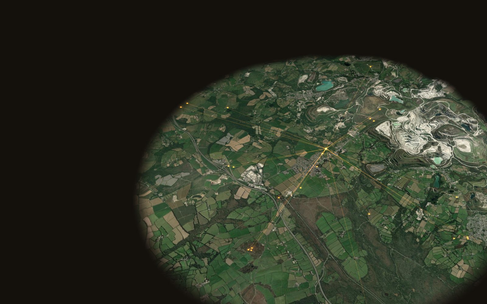
Imagery & tiles © MapTiler © OpenStreetMap · OS six-inch 1888–1913, National Library of Scotland · LiDAR © Environment Agency · Sites: Cornwall & Scilly HER, © Cornwall Council (OGL v3)

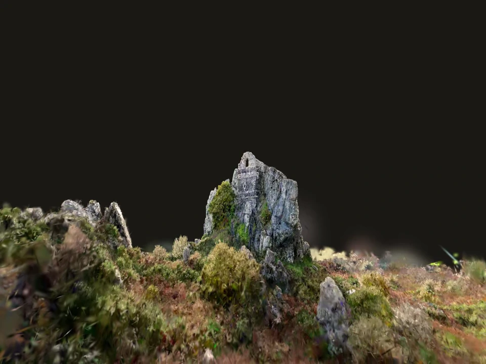
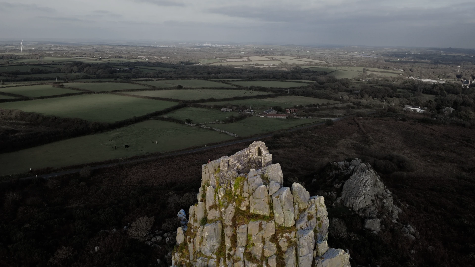
Oblique aerial view of Roche Rock

The Outcrop

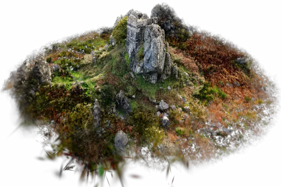
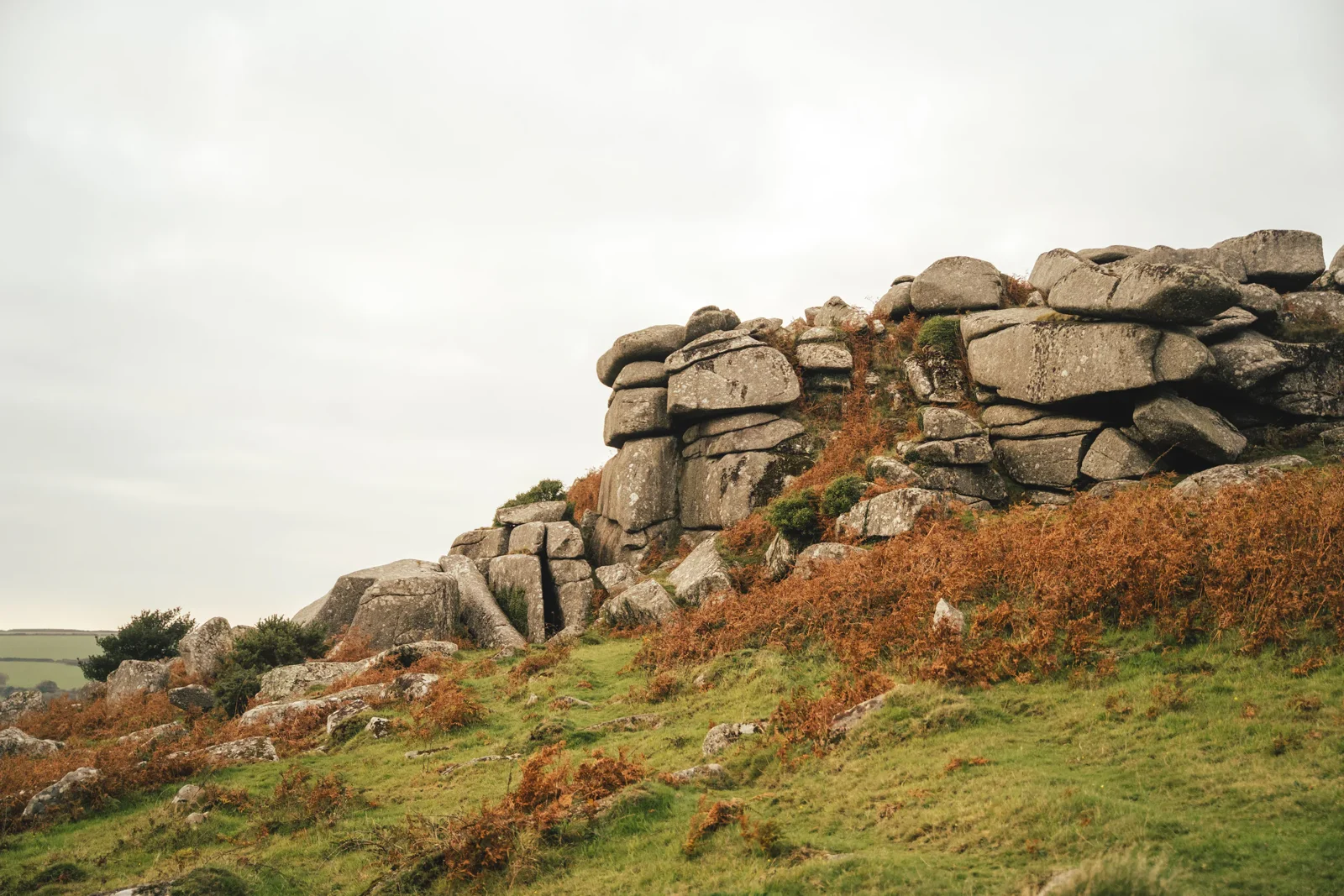
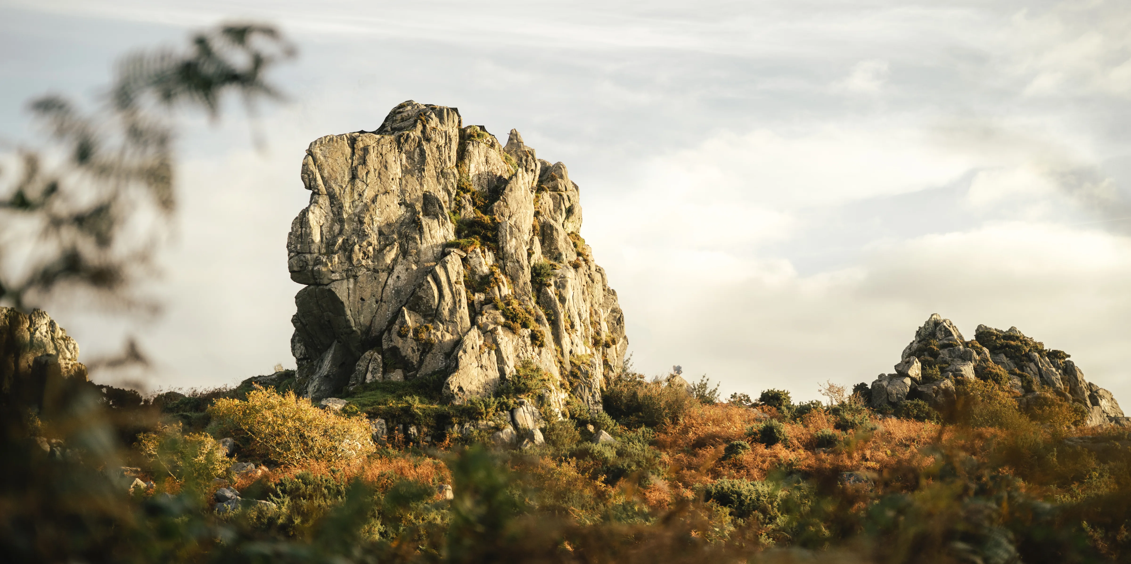
Roche Rock is a large geological outcrop rising 22 metres above the ground, visible for miles around.

St Michael’s Chapel

This site is best recognised for the medieval chapel built atop it dedicated to St. Michael, a popular saint in Cornwall.

The Landscape

Roche Rock is inherently connected with the landscape around it, but not for the reasons you may think.

Through Time

To understand how Roche Rock influenced the prehistoric landscape, it’s first important to understand the historical context.

The Timeline

Zooming out

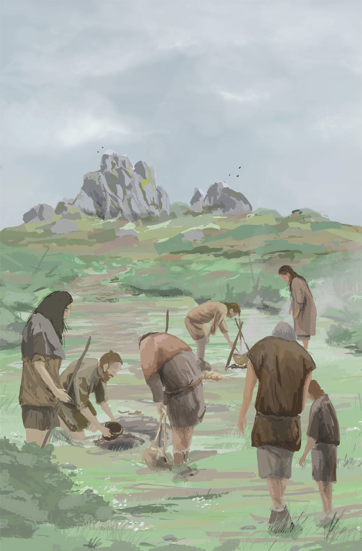
Roche Rock physically stands out in the landscape, and results from archaeological excavations nearby suggest that the site may have held significance for prehistoric peoples.

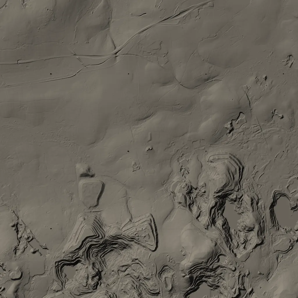
If we zoom out and investigate Roche using modern geospatial tools, we begin to see an interconnected landscape.

This helps us build a deeper, more complex understanding of how ancient humans interacted and formed relationships with their environment.

Roche Rock in 3D

With this historical context in mind, interact with Roche Rock in 3D to get a feel for its scale and presence, as well as to learn more about certain features.

Note This viewer may be demanding on older or mobile devices.

This is where Roche Rock sits.

We can find tangible connections between Roche Rock and other prehistoric sites in the region by finding out which sites have a direct view to Roche Rock.

This is Roche Rock’s viewshed.

It uses available topographic data to work out visibility, showing where a chosen point can be seen from on a clear day.

Theoretically, you should be able to see Roche Rock from anywhere within the blue zone.

There's an intriguing pattern that emerges once you factor in something else.

Clear the fog to find out.

Cornwall has been inhabited for thousands of years, with evidence of human activity dotted all around the region.

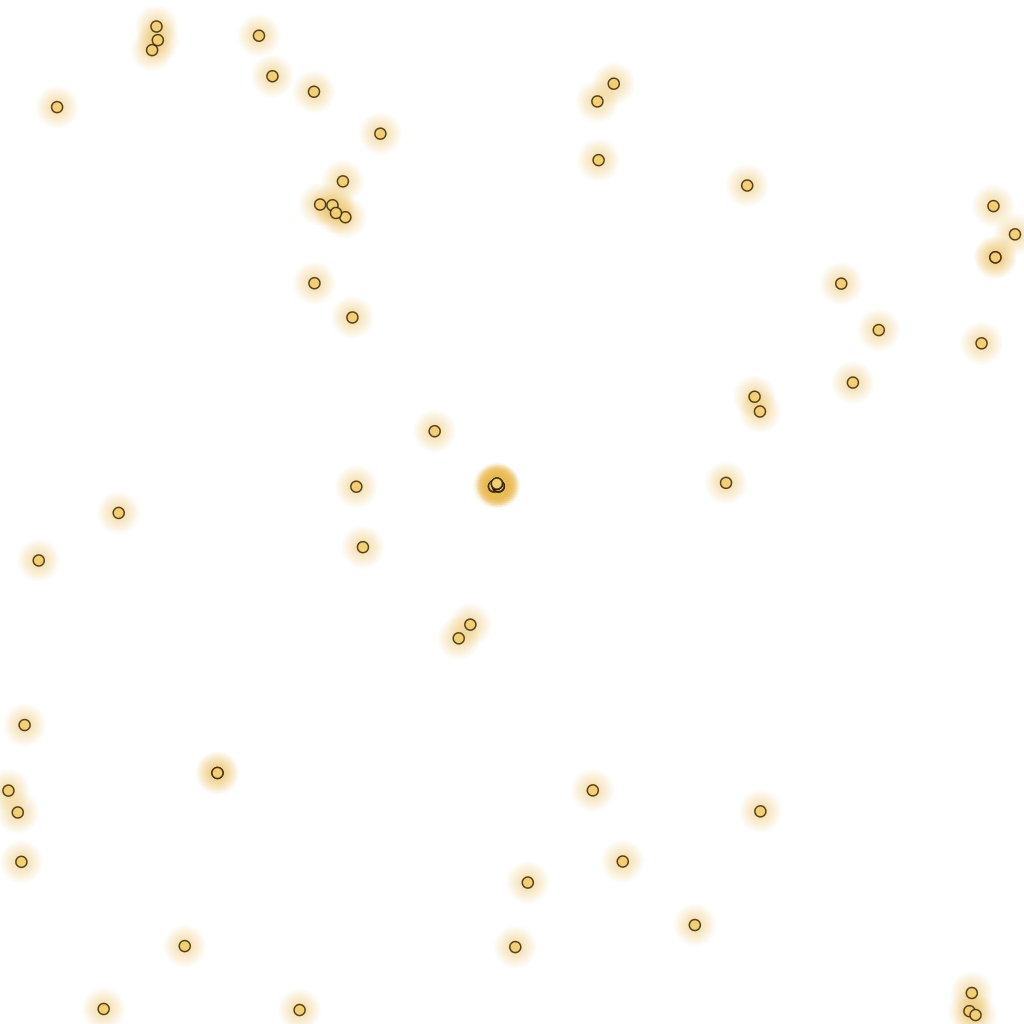
These are all the documented Neolithic and Bronze Age sacred sites found in Cornwall.

If you intersect this data with the viewshed, you start to see that Roche Rock was viewable from many of these prehistoric sites.

Visibility often wasn't accidental in prehistoric landscapes. People chose to build ritual sites in places that could be seen from certain locations, or that had a view of other significant landmarks.

Is it possible that prehistoric peoples built their sacred sites with a view of Roche Rock?

The Statistical Test

Were sites placed in view of Roche?

The Monte Carlo Simulation

To investigate whether Roche Rock held significance as a cultural landmark in the prehistoric landscape, a Monte Carlo simulation can be run.

The analysis compares the number of sacred sites that land within Roche Rock's viewshed to the average number that fall there across 10,000 simulations, where all known sacred sites in Cornwall are randomly scattered each time.

If more sites fall in Roche’s view than random placement would predict, it shows they cluster where Roche can be seen. It can’t show on its own that Roche was the reason, since the same places may have been chosen for other things, such as high ground or other views.

The patterns have been here for thousands of years. Now, it’s time to investigate them yourself.

Roche Rock sits at the centre of one of Cornwall’s richest prehistoric landscapes. Ancient tombs, standing stones, and ceremonial monuments cluster around it in ways that suggest Roche Rock held profound significance to the people who built these structures.

Explore the prehistoric landscape through an interactive multimedia map of Cornwall. Sift through the evidence and connect the dots yourself to discover the importance of Roche Rock.

About the Project

We hope you’ve enjoyed exploring Cornwall’s prehistoric landscape and learning more about techniques archaeologists use to investigate the prehistoric past. We created A View to Roche Rock to experiment with various types of data visualisations and narrative techniques, with the goal of building digital toolkits for archaeological research, interpretation, and communication.

This website is a result of nearly 18 months of hard work and passion, created by two archaeologists who love discovering new ways of engaging with cultural heritage. During a road trip around Cornwall in 2025, we visited dozens of ancient sites and were stunned by the sheer density and scale of the prehistoric construction projects. We were particularly struck by Roche Rock’s presence in the landscape, and couldn’t help but notice how visible it was from the numerous Neolithic and Bronze Age monuments in the vicinity.

A 2023 paper by Farnworth, Herring, Tapper, and Farnworth coined the “Rough Tor Effect” to describe the way many Neolithic and Early Bronze Age monuments on Bodmin Moor appear to be oriented towards Rough Tor and, to a lesser extent, Stowe’s Hill - both visually distinct geological formations. In a second paper, the same authors compared the distribution of cairns within Rough Tor’s viewshed against random distributions across the same area. They concluded that these structures were built with a deliberate view to Rough Tor, and that for millennia, Rough Tor would have been regarded as sacred.

We wanted to apply a similar methodology to understand Roche Rock’s identity in the prehistoric landscape, while also layering our combined skills in geospatial analysis, multimedia production, and storytelling. We processed all the data, captured and rendered the media, created the 3D models, and wrote the text ourselves. Artistic reconstructions were done by George Scott.

A View to Roche Rock is a self-funded, non-commercial digital archaeology project made by Jack Marchi and Dushyant Naresh. If you want to learn more about the project, have any thoughts, or would like to support it in any way, please reach out to us using the contact form below.

Get in touch

Feel free to reach out to us for questions, feedback, or if you’d like to support A View to Roche Rock in any way.

If you have a moment, please take this short survey to help us learn how effective this website is for heritage communication.

Survey →
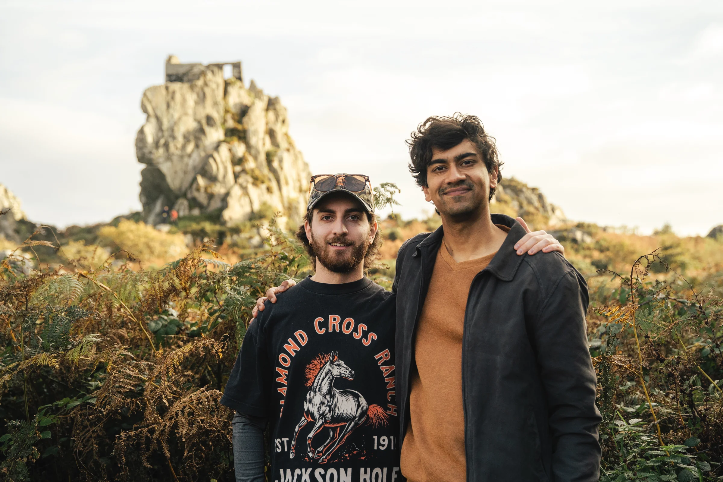
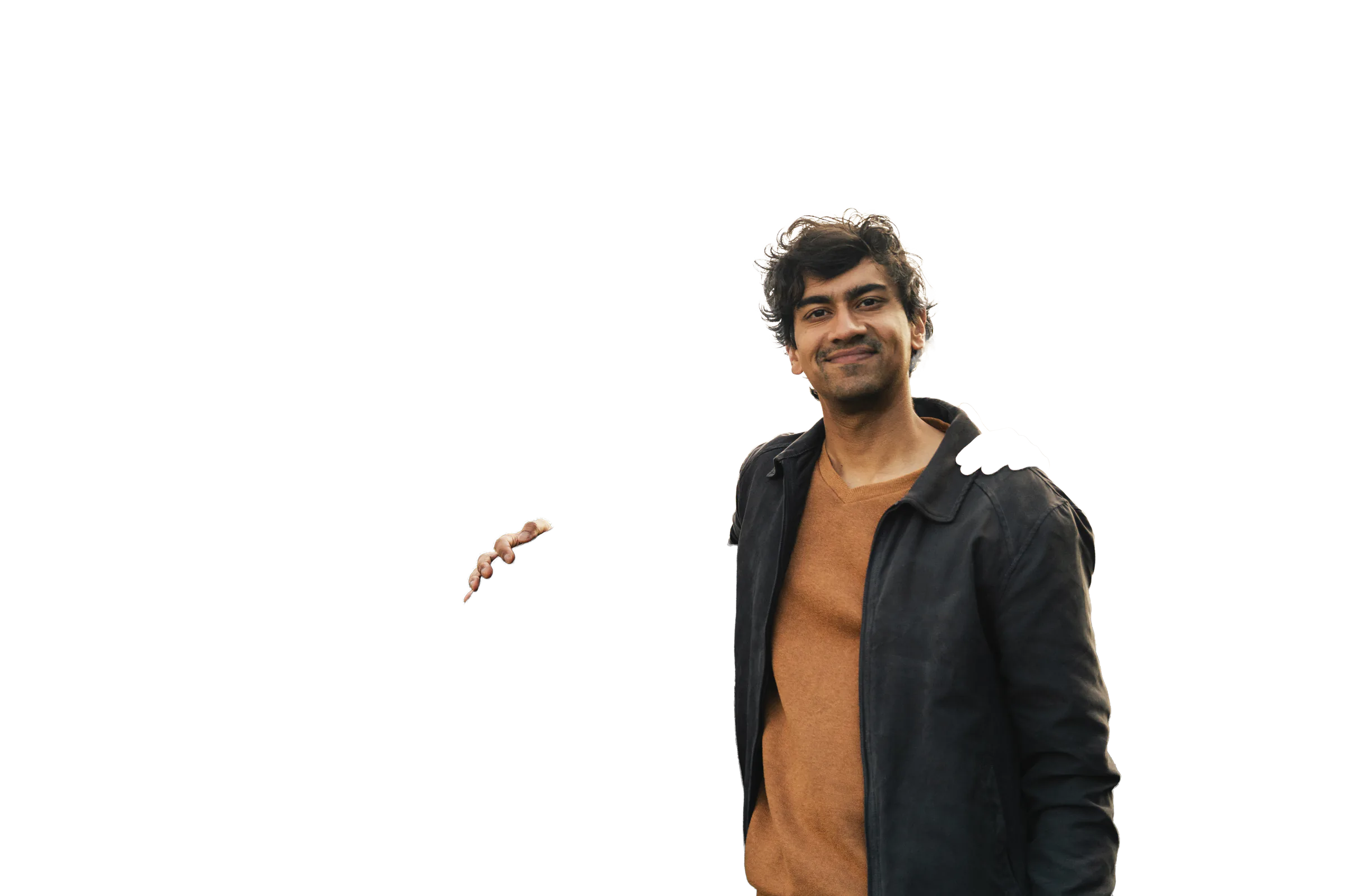
Jack Marchi (left) and Dushyant Naresh (right) below Roche Rock

Jack Marchi

Bio

I am an archaeologist and geospatial data scientist based in Cornwall. I’m most at home somewhere like Bodmin Moor, trying to work out why a monument was built exactly where it was.

I started out on excavations in Italy and Canada before moving into geospatial data science, where I now build data pipelines and machine learning models. Outside of work I spend a lot of my time visiting prehistoric sites with a camera and a drone. I record them with LiDAR, photogrammetry and Gaussian splatting, and I share what I find online.

I’m interested in what happens when data science meets archaeology. Mostly, I want to take the questions I ask at these sites and turn them into something other people can explore too.

Dushyant Naresh

Bio

I am an archaeologist with a passion for creative storytelling. My work focuses on developing innovative methods to engagingly communicate heritage and science, utilising novel approaches that allow people to interact with archaeology in new and exciting ways.

I spent years as a video producer and journalist in the US, and wanted to combine my skills in media production and storytelling with archaeology. So far, I’ve experimented with AR/VR, 360° imagery, 3D modelling, projection mapping, and more to create immersive heritage experiences.

Ultimately, I love archaeology, and want to create avenues for people of all backgrounds to share my passion.

With thanks to George Scott for the artistic recreations.

George Scott

Bio

George Scott is a Cornwall, UK based illustrator specialising in archaeological illustration. His work has been academically published in numerous regional and national journals and monographs.

References

  1. Bishop, S., 2011. Castle an Dinas, St Columb Major, Cornwall: archaeological survey report. Research Report Series 110-2011. Portsmouth: English Heritage. Available at: historicengland.org.uk.
  2. Cole, D. and Jones, A.M., 2002–3. Journeys to the Rock: archaeological investigations at Tregarrick Farm, Roche, Cornwall. Cornish Archaeology, 41–42, pp.107–143. Available at: cornisharchaeology.org.uk.
  3. Cornwall Heritage Trust, n.d. Castilly Henge: examining, illuminating and sustaining Cornwall’s ancient sacred heart. [online] Available at: cornwallheritagetrust.org [Accessed 13 June 2026].
  4. Farnworth, R., Herring, P., Tapper, B. and Farnworth, C.R., 2023a. Locations of Cornish cairns in relation to the Rough Tor Effect. Time and Mind, 16(1–4), pp.87–113. doi:10.1080/1751696X.2024.2304320.
  5. Farnworth, R., Herring, P., Tapper, B. and Farnworth, C.R., 2023b. The Rough Tor Effect: early prehistoric monuments focusing on significant tors in Cornwall. Time and Mind, 16(1–4), pp.7–38. doi:10.1080/1751696X.2023.2245158.
  6. Historic England, 2018a. Enclosed Prehistoric Settlements: Introductions to Heritage Assets. Swindon: Historic England. Available at: historicengland.org.uk.
  7. Historic England, 2018b. Megalithic Chamber Tombs: Introductions to Heritage Assets. Swindon: Historic England. Available at: historicengland.org.uk.
  8. Historic England, 2018c. Prehistoric Barrows and Burial Mounds: Introductions to Heritage Assets. Swindon: Historic England. Available at: historicengland.org.uk.
  9. Ingold, T., 1993. The temporality of the landscape. World Archaeology, 25(2), pp.152–174. doi:10.1080/00438243.1993.9980235.
  10. Linford, N. and Payne, A., 2023. Castilly Henge, Luxulyan, Cornwall: report on geophysical surveys, February 2022. Research Report Series 26/2023. Portsmouth: Historic England. Available at: historicengland.org.uk.
  11. Miles, H. and Trudgian, P., 1976. An excavation at Lesquite Quoit, Lanivet. Cornish Archaeology, 15, pp.7–10. Available at: cornisharchaeology.org.uk.
  12. Riley, H., 1995. Helman Tor, Lanlivery, Cornwall: a new survey by the Royal Commission on the Historical Monuments of England. NMR No. SX 06 SE 33. Exeter: RCHME. Historic England Research Report 78/1995. Available at: historicengland.org.uk.
  13. Underwood, A., 2020. Our museum. St Austell: Wheal Martyn Museum. Available at: wheal-martyn.com.